Speicher Zillergründl
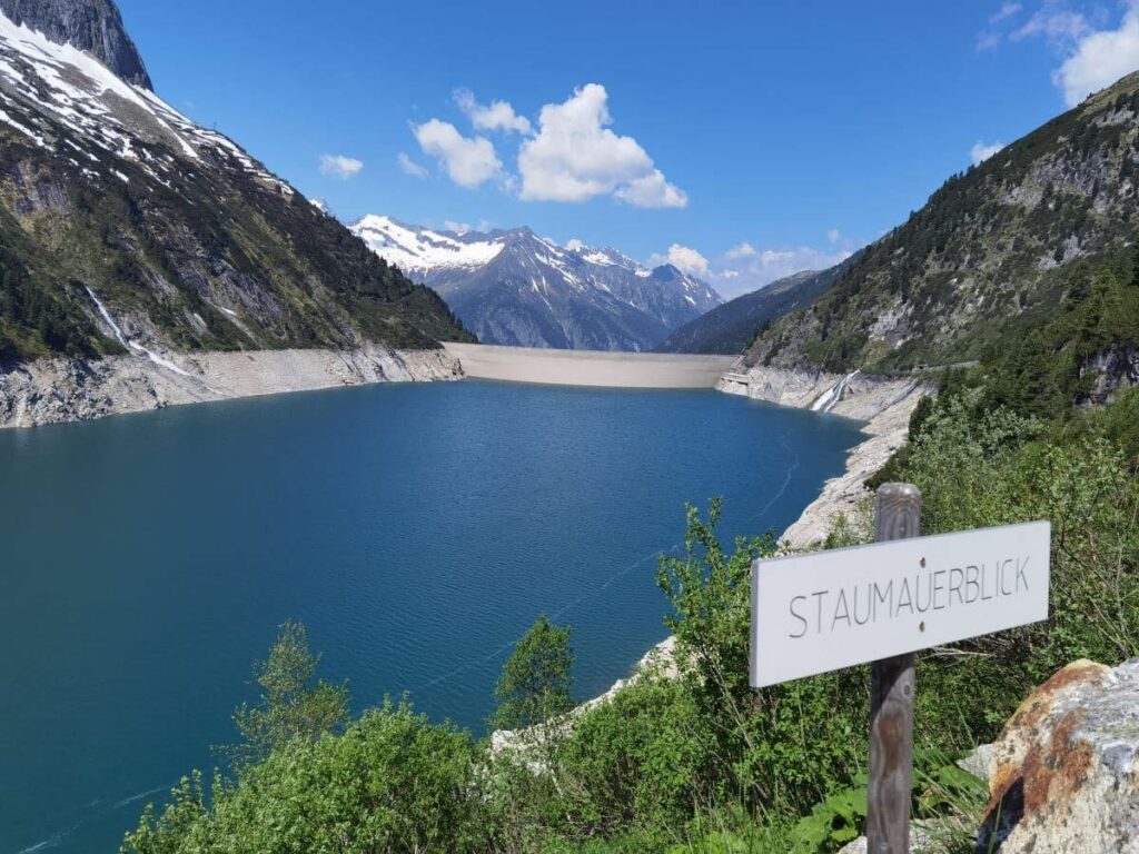
Zillergründl Lake
Zillergrund is also a tributary valley of the Zillertal, a charming valley of pastures, via which the lake can be reached.
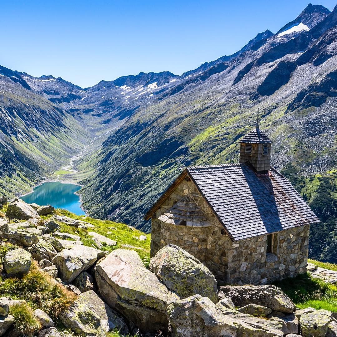
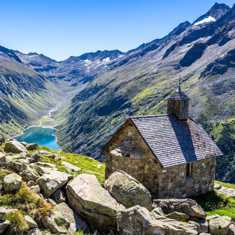
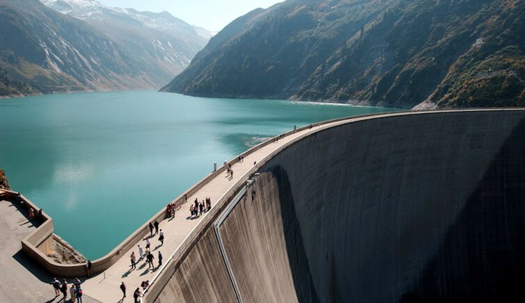
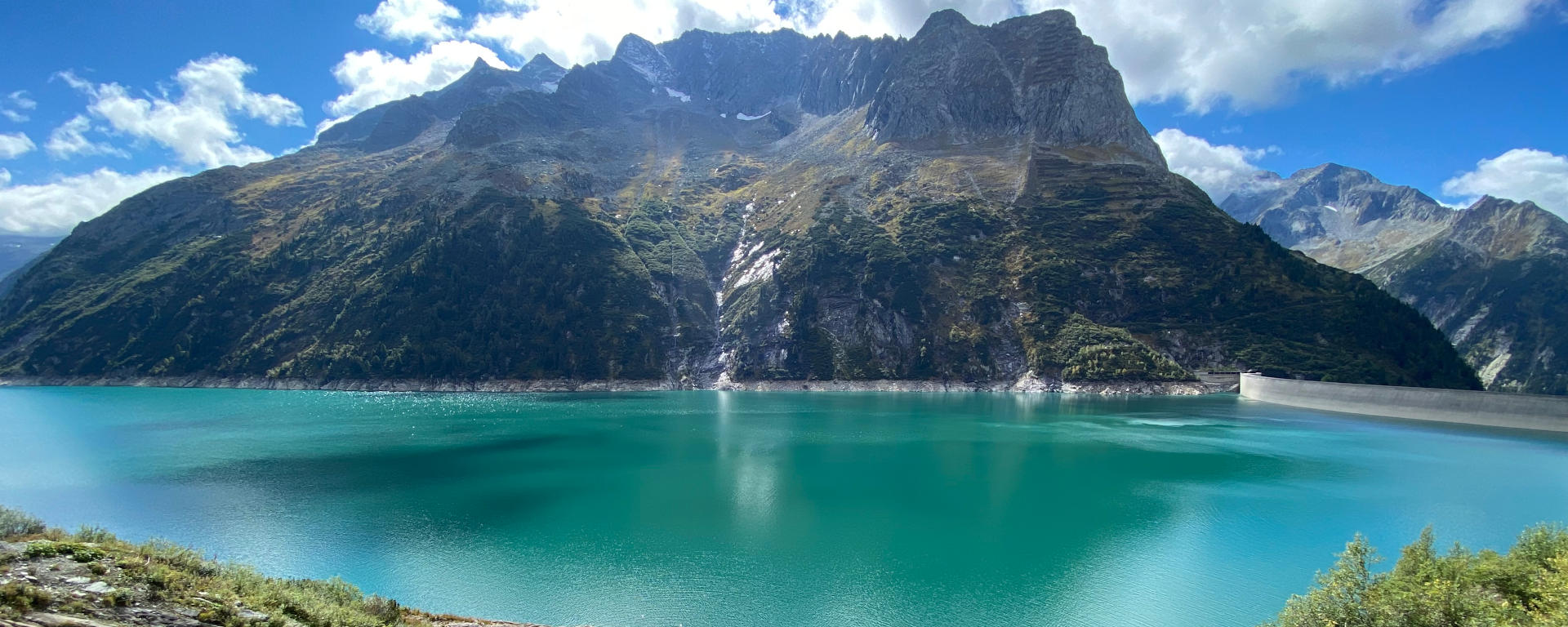
At 1,850 m a.s.l. there is one of the five artificial lakes of the Zillertal valley, the Zillergründl Basin or Speicher Zillergründl, in German. For seven year, till 1987, the artificial lake was established, whose water masses today flow to the Häusling Power Plant and, after electricity being produced, farther on to Lake Stillup, another artificial lake about 35 km away (on the road) from Lake Zillergründl.
From Mayrhofen, an 18 km long toll road takes you to the artificial lake. On this road there is less traffic than on the famous Schlegeis Alpine Road – every day, only a limited number of cars is admitted. The road for public transport ends at the so-called Bärenbad at 1,450 m a.s.l. where also the public bus stops. The 4 km that are left to Lake Zillergründl can be overcome on foot, by the Bärenbad-Zillergründl Shuttle or by bike. For cyclists, the barrier has been opened and the longest tunnel on this road has been illuminated.
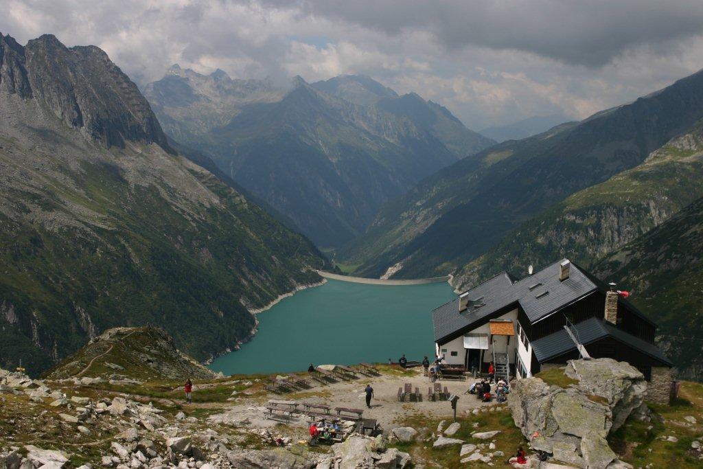
From the Zillergründl Basin, a beautiful trail takes you to the Plauener Mountain Hut at 2,364 m a.s.l., including fabulous views on the surrounding Zillertal Alps. Also the German TV series “Medicopter 117” was shot in part at the Zillergründl Basin.
Altitude: 1,850 m a.s.l.
Surface: 140 hectares
Maximum depth: 186 m
Bathing: no
Water sports: no
Speicher Zillergründl
Zillergrund heißt auch ein Seitenarm des Zillertales, ein bezauberndes Almtal, über das der Speichersee erreichbar ist.
Auf 1.850 m Meereshöhe befindet sich ein weiterer der fünf Stauseen des Zillertales, der Speicher Zillergründl. Bis 1987 wurde im hinteren Zillertal sieben Jahre lang der Zillergründl Stausee erbaut, dessen Wassermassen heute über einen Stollen zum Kraftwerk Häusling und, nach der Stromerzeugung, weiter zum Stillupspeicher, auf der Straße 35 km entfernt, fließen.
Von Mayrhofen aus bringt dich eine 18 km lange Mautstraße bis zum Stausee, hier gibt es weniger Verkehr als auf der bekannten Panoramastraße zum Schlegeisspeicher. Jeden Tag sind nur eine begrenzte Anzahl an PKWs zugelassen, die Straße für den öffentlichen Verkehr endet dann beim Bärenbad auf 1.450 m Meereshöhe. Auch mit dem Bus von Mayrhofen aus kann diese Strecke zurückgelegt werden. Es bleiben noch 4 km bis zum See, die du als Wanderung, mit dem Bus Bärenbad-Zillergründl oder mit dem Rad zurücklegen kannst. Für Radfahrer wurde die Sperre geöffnet und der längere Tunnel, der sich auf dieser Strecke befindet, beleuchtet.
Wenn du weiterwandern möchtest, geht es vom Stausee Zillergründl zur Plauener Hütte auf 2.364 m Meereshöhe, wo dich sagenhafte Ausblicke auf die Zillertaler Alpen erwarten. Der Speicher Zillergründl war auch Schauplatz für Fernsehaufnahmen, z.B. für die TV-Serie “Medicopter 117”.
Meereshöhe: 1.850 m ü.d.M.
Fläche: 140 ha
Max. Tiefe: 186 m
Badebetrieb: nein
Wassersport: nein